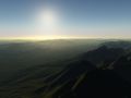
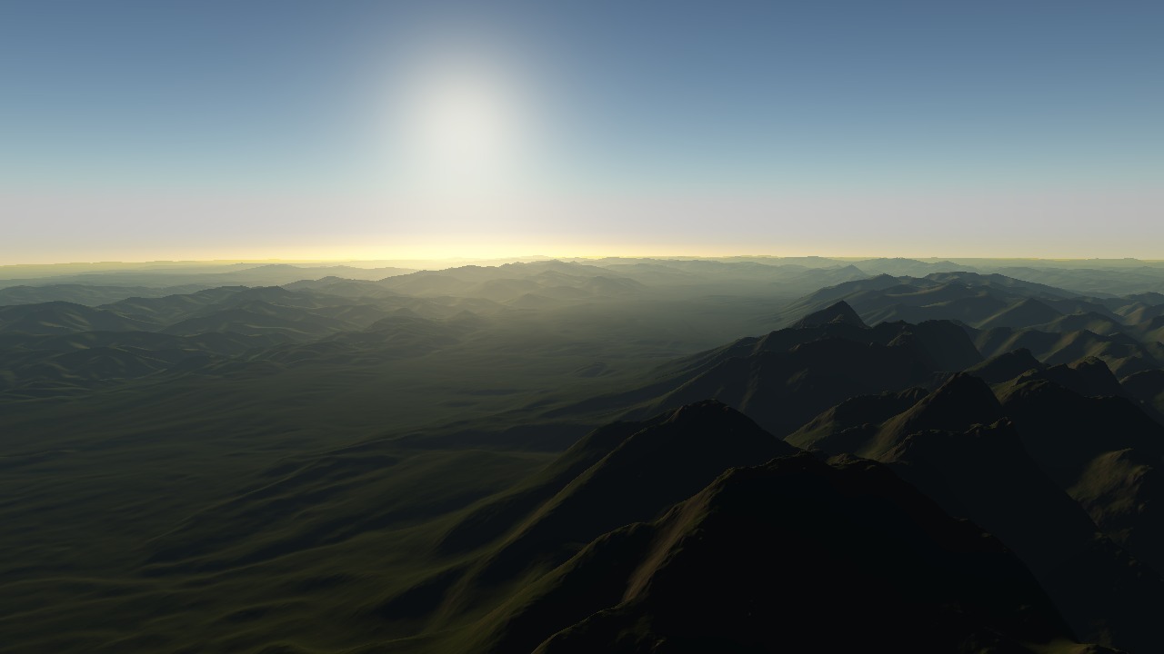
Planetary engine that can be used with real elevation data of arbitrary resolution, while being progressively enhanced by fractal algorithms. The fractal algorithms refine and introduce details down to centimeter resolution and can be parametrized by elevation and land class data. A completely random fractal terrain is possible too, or a terrain can be sketched in rough resolution with fractal generating the details. Level of detail ranges from thousands of kilometers down to centimeters, with full visibility. The engine is fully asynchronous, majority of the algorithms running on the GPU while the rest is distributed to multiple CPU cores.
Screenshots
(view original)

Post a comment
Nice